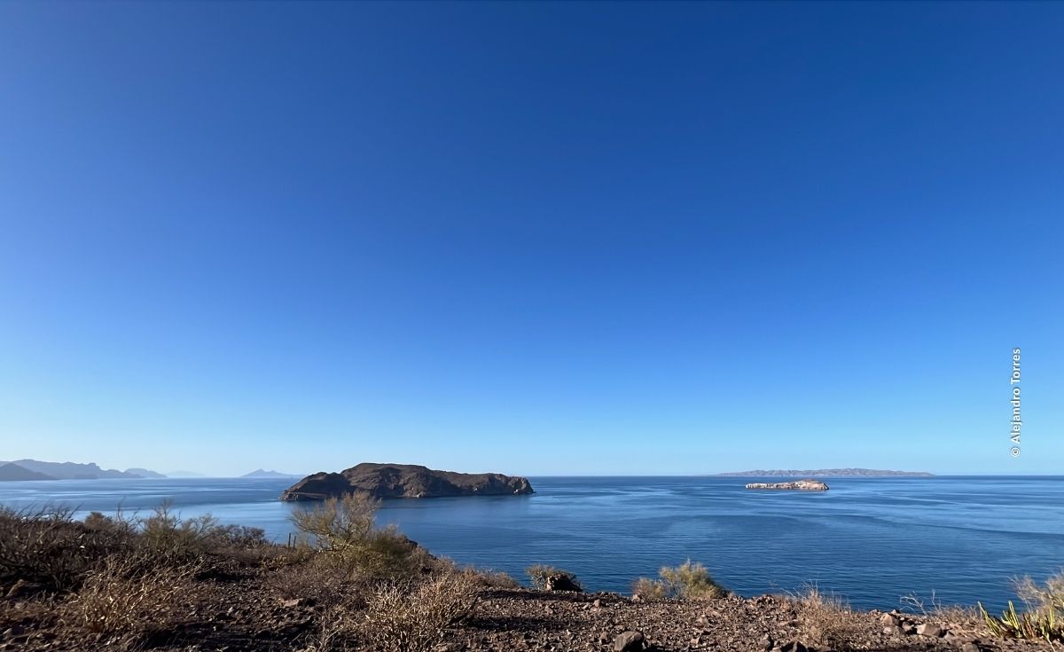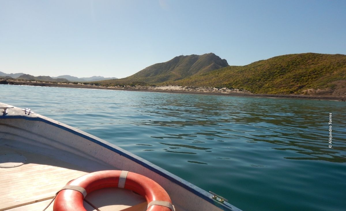


In Baja California Sur, we are strengthening the capacities of authorities and communities to improve monitoring and help ensure compliance with the regulations to protect Bahía Loreto, Espíritu Santo, and Cabo Pulmo.
Protecting a national park requires much more than drawing boundaries on a map. It means understanding what is happening within its territory, having tools to identify potential violations, and, above all, strengthening the capacities of the people and institutions working every day to conserve it.
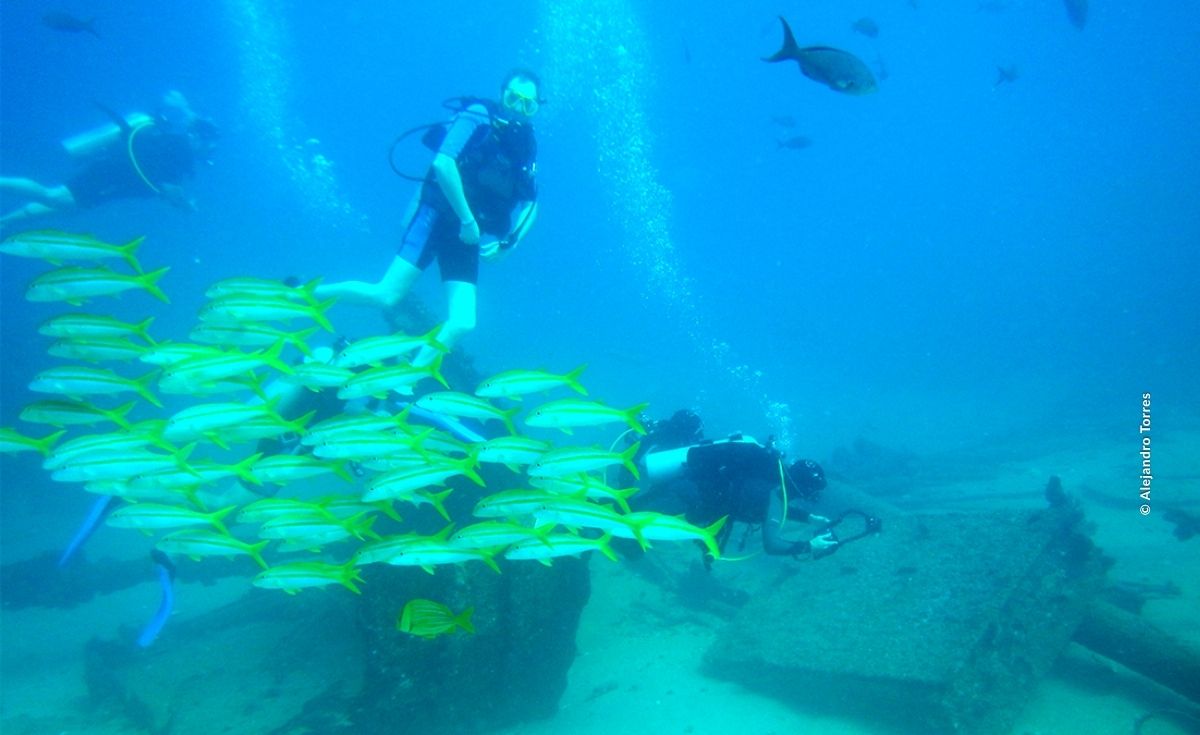
Since 2014, in collaboration with authorities, Pronatura Noroeste has implemented actions to strengthen monitoring and regulatory compliance with environmental and fisheries regulations in marine protected areas in Baja California Sur, including Bahía de Loreto National Park, Espíritu Santo Archipelago National Park and Cabo Pulmo National Park.
Each area has different conditions. In Cabo Pulmo, for example, commercial or sport fishing are not permitted, while Bahía de Loreto and Espíritu Santo have specific areas where fishing is restricted and others where it is permitted in accordance with established regulations.
Given these differences in context, we take an approach that combines technology, training, community participation, and coordination among authorities. Technology helps identify potential violations, but it is people who interpret the information, have knowledge of the area, and make decisions to protect it.
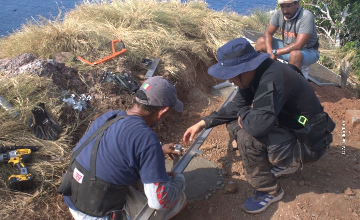
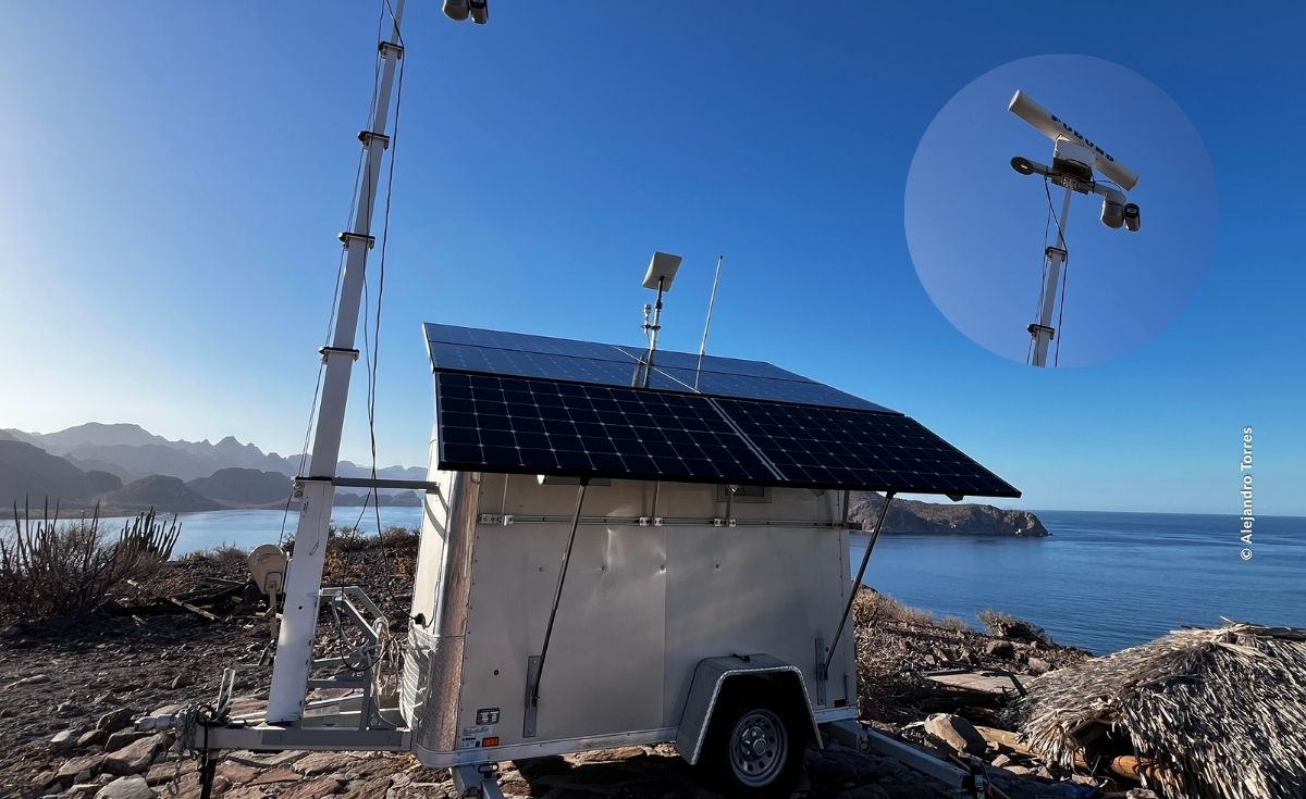
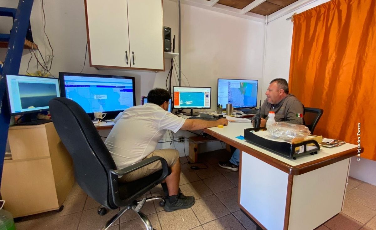
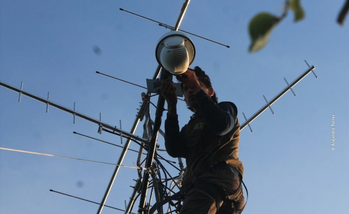
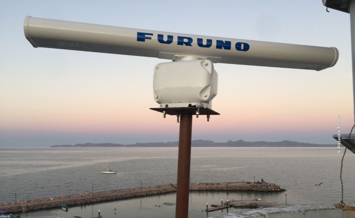
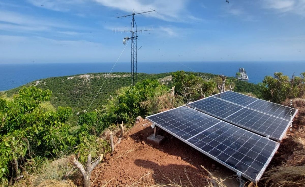
Among our main tools are Marine Monitor (M2) and Marine Monitor Mobile (M3), a system that integrates radar, a camera, and computer equipment to continuously monitor vessel trajectories in real time. Based on parameters such as the vessel´s location, time, and speed, the platform can generate alerts about potentially unauthorized activities.
These systems currently operate in Bahía de Loreto and Espíritu Santo, explained Alejandro Torres Mendía, regional Assistant for Inspection and Surveillance Projects.
“With these tools, users can detect potentially irregular activities based on the time, hour, location and speed at which vessels are moving. At the same time, they can use the image provided by the surveillance camera to confirm the target and the incident and make decisions about whether immediate or scheduled action is needed,” he said.
Data for Better Decisions
Technology is only one part of the process. At Pronatura Noroeste, we also promote the use of electronic logs to document land- and sea-based patrols carried out by park rangers and community-based monitoring groups.
Digitizing and systematizing this information makes it possible to identify where and when potential irregularities occur and to direct patrols toward areas requiring greater attention, Torres Mendía emphasized.
“It is not feasible to install radar systems at every priority site. That is why we complement this infrastructure with the development and implementation of electronic logs, which are populated with data provided by community monitors and park rangers. When we analyze this information, we can identify which sites and time periods are associated with specific findings or activities, allowing them to focus their efforts where they are most needed and make their work more effective,” he emphasized.
But the data take on particular value when combined with the knowledge of those who live and work in the territory.
For this reason, in recent years we have strengthened the participation of communities located within or around these areas, as well as that of community monitoring groups working in other priority sites, including fisheries refuges.
“We collaborate with communities that have promoted and established these conservation and management schemes, strengthening their capacity to generate and analyze information. We support communities and cooperatives in interpreting the data obtained, so that they can use it as a tool for decision-making and addressing priority issues, particularly those related to monitoring, compliance, and management of their fishery resources,” he said.
Our support begins with an assessment to identify the capacities, needs, and areas of opportunity at each site. Based on this assessment, we implement the most appropriate and feasible tools. We then provide training on how to use these tools and follow up to ensure that the information collected can be transformed into useful inputs for decision-making.
Working Together to Protect Better
Effective monitoring also requires coordination. That is why we promote collaboration between the Comisión Nacional de Áreas Naturales Protegidas (CONANP) and other institutions with environmental, fisheries, enforcement, and law enforcement responsibilities, such as the Procuraduría Federal de Protección al Ambiente (PROFEPA), Comisión Nacional de Acuacultura y Pesca (CONAPESCA), Secretaría de Marina Armada de México and the Fiscalía General de la República (FGR).
As an example of this collaboration, a joint response protocol was developed for Bahia de Loreto to establish which authority should intervene in different scenarios and facilitate a coordinated response. This experience also opens the possibility of replicating the mechanism at other sites.
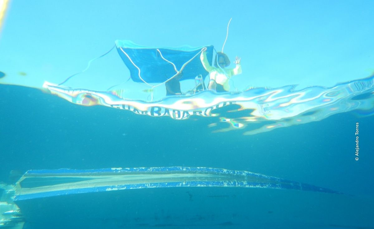
This is how we built a protection strategy that brings together technology, data, and local knowledge. A radar can detect patterns and generate an alert; an electronic log can reveal what is happening in a fishery; and a surveillance patrol can provide information that doesn’t appear in any system. But no single tool can protect a territory on its own.
It is people—the authorities and, above all, the communities that know, live in, and care for these places—who give meaning to the information, make decisions, and turn it into concrete action to protect their resources and conserve their territories.
Protecting the national parks of Bahía de Loreto, Espíritu Santo, and Cabo Pulmo is a shared responsibility. Every tool, every patrol, and every person who takes part contributes to the same goal: conserving these ecosystems so they can continue supporting biodiversity and the activities of the communities that depend on them.
At Pronatura Noroeste, we will continue strengthening partnerships, knowledge, and local capacity to protect these areas. You can be part of these efforts, too: learn about our work, share these stories, and support the efforts that make it possible to conserve the ecosystems of northwestern Mexico.
Translated by: Grecia Martínez & Nicole Fuentes
Reviewed and edited by: Claudia Jiménez