

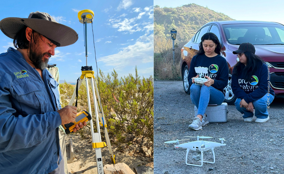
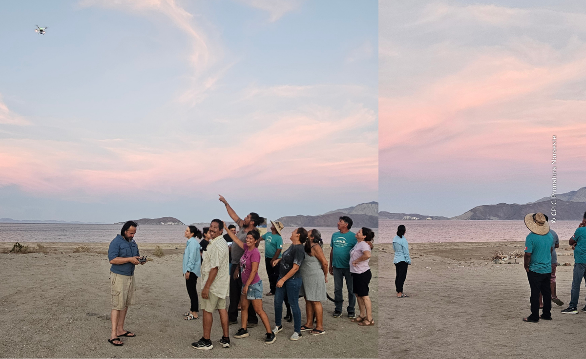
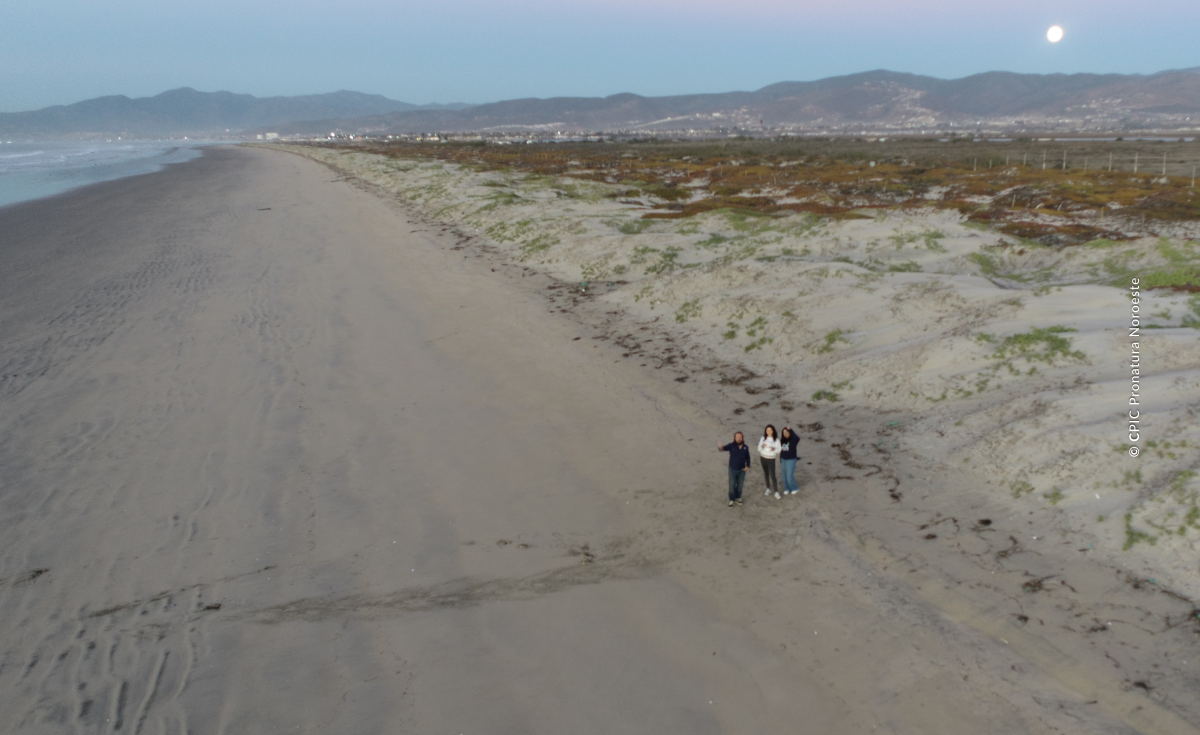
From satellite imagery and drones to 3D modeling and artificial intelligence, at Pronatura Noroeste we integrate geospatial technologies to plan, prioritize, and evaluate conservation and restoration projects with greater precision.
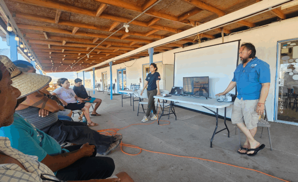
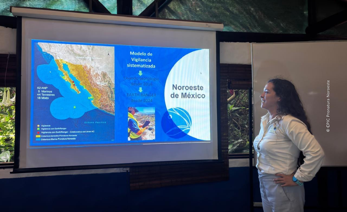
Technology has become a valuable ally in protecting the landscapes and ecosystem of the region. Through the Pronatura Center for Conservation Information (CPIC), we use geospatial tools, satellite imagery, drones, radar systems, and data analysis to better understand the areas where we work and support more informed decision-making across our projects.
The CPIC was established in the early 2000s alongside the Land Conservation Program. Since then, its role has been to provide geographic information that helps define the limits of project areas, support zoning processes, and guide fieldwork planning.
“Once Pronatura Noroeste recognized the potential of geographic information systems, the laboratory began to play a role in every project”, said Geovanni Cordero Herrera, coordinator of the CPIC.
Over time, he commented, the concept evolved beyond Geographic Information Systems (GIS) toward a broader framework known as Geographic Information Technologies (GIT):
“When we began working with drones, LiDAR (Light Detection and Ranging) technology, neutral networks, and artificial intelligence, it was no longer just about GIS. The scope expanded to include a wider range of technologies, and now we refer to it as GIT,” he explained.
Data to Better Understand the Landscape
Today, nearly all of our projects include a geographic component. From marine conservation to environmental education, understanding the location of the site and its context helps reveal the ecosystem that surrounds it and the historical changes that have taken place there.
“Every environmental conservation project, no matter how large or complex, has a geographic component: where it is located, which communities it connects to, which Protected Natural Areas(PNAs) are nearby, what wetlands surround it, and what exists in the surrounding landscape. These are the kinds of questions the CPIC seeks to answer,” he noted.
Cordero Herrera emphasizes that access to satellite imagery allows researchers to analyze changes over time and distinguish between natural processes and alterations caused by human activity.
These tools also make it possible to identify ecosystems through their “spectral signature,” the unique pattern by which each type of surface reflects light in satellite imagery. By comparing these patterns, researchers can identify vegetation, water, soil, or built infrastructure and recognize them across different time periods to better understand changes in the landscape.
“We can carry out historical analyses and identify areas where mangroves once existed because their spectral signature remains consistent over time. In fact, there are spectral signature libraries available for reference,” he explained.
He added that the USGS Spectral Library compiles reflectance measurements for different types of land cover and materials, making it possible to compare and better understand how surfaces respond across different wavelengths.
Although the CPIC does not currently maintain its own spectral signature library, the team relies on external references and direct interpretation of spectral patterns observed in imagery, depending on the objectives of each study.
Informed Decisions for Better Resource Management
Information generated by the CPIC has a direct impact on our decision-making. From defining field monitoring routes to evaluating the purchase of a property for conservation as a core zone or biological corridor, the data allows us to optimize resources and reduce risks.
“The goal is to have tools that allow us to make more efficient use of resources, combined with the ability to understand much better what has happened historically and make decisions,” said our CPIC coordinator.
In the context of climate change and sea-level rise, technology also allows us to anticipate scenarios and strengthen climate change adaptation.
“We have been asked whether a property we want to conserve will be underwater in the future. With models and data, we can respond and justify whether an investment is viable for restoration or if we need to change strategy,” he mentioned.
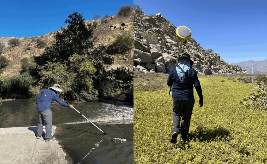
Cordero Herrera added that 3D modeling and the use of drones have played key roles in projects such as the restoration of the Tijuana River, where three-dimensional models were generated to calculate debris volumes and decide whether it was financially viable to remove them as part of ecosystem services restoration actions
In other cases, such as ecological flow analyses in Sinaloa, Nayarit, and BCS, these 3D models (together with historical river flow records) make it possible to simulate floods and understand how water would behave under different scenarios, supporting sustainable watershed management.
Additionally, the CPIC also processes information from the radars of the Inspection and Surveillance program. This process starts with the raw data generated by the sensors, which is subjected to various correction and analysis procedures to properly interpret the information recorded by the radar and distinguish the different types of surfaces, objects, or observed phenomena, contributing to impact mitigation.
Challenges and Future of Technology in Conservation
Staying up-to-date has been one of the main challenges for the CPIC. Access to specialized software, continuous training, and new tools requires investment and internal management.
Looking ahead, data mining, the use of LiDAR sensors, infrared cameras, and artificial intelligence open new possibilities to strengthen conservation and restoration work.
LiDAR technology uses laser light pulses to measure distances and generate three-dimensional terrain models. It allows for high-precision knowledge of the ground shape and vegetation height (even in areas covered by trees) facilitating the identification of buffer zones and priority sites for restoration.
“We already have access to the software to manage this type of information, and it is beginning to arrive. For example, for the Colorado River Delta project, LiDAR flights were made more than 10 years ago, when airplanes were still used, and we already have that information and are working with it,” he emphasized.
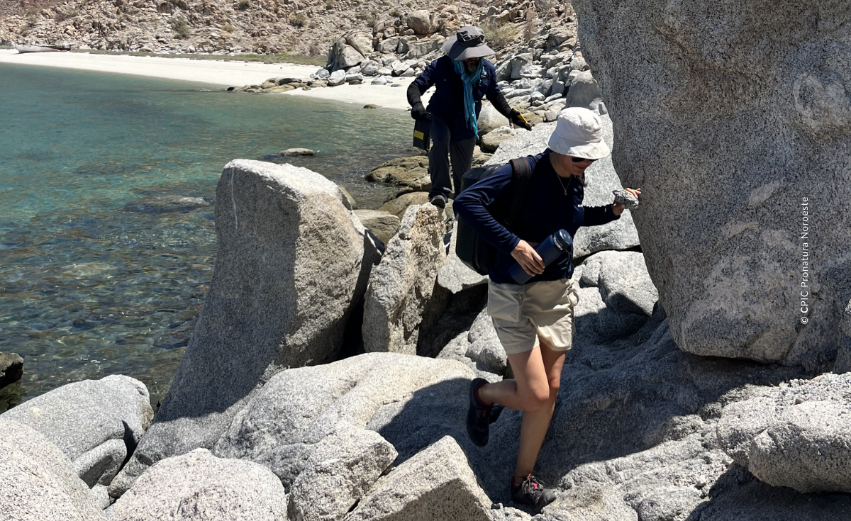
At Pronatura Noroeste, we believe that land conservation requires solid, accessible, and well-interpreted information. Technology does not substitute fieldwork, but strengthens it and makes it more efficient within a framework of community co-management and participatory governance.
Evidence-based conservation allows us to better protect what matters. Learn about our projects, share this story, and join the actions that, from technology and the territory, are helping to care for Northwestern Mexico.
Translated by: Grecia Martínez y Oddary Tacuba.
Reviewed and edited by: Alejandra Picos.


